
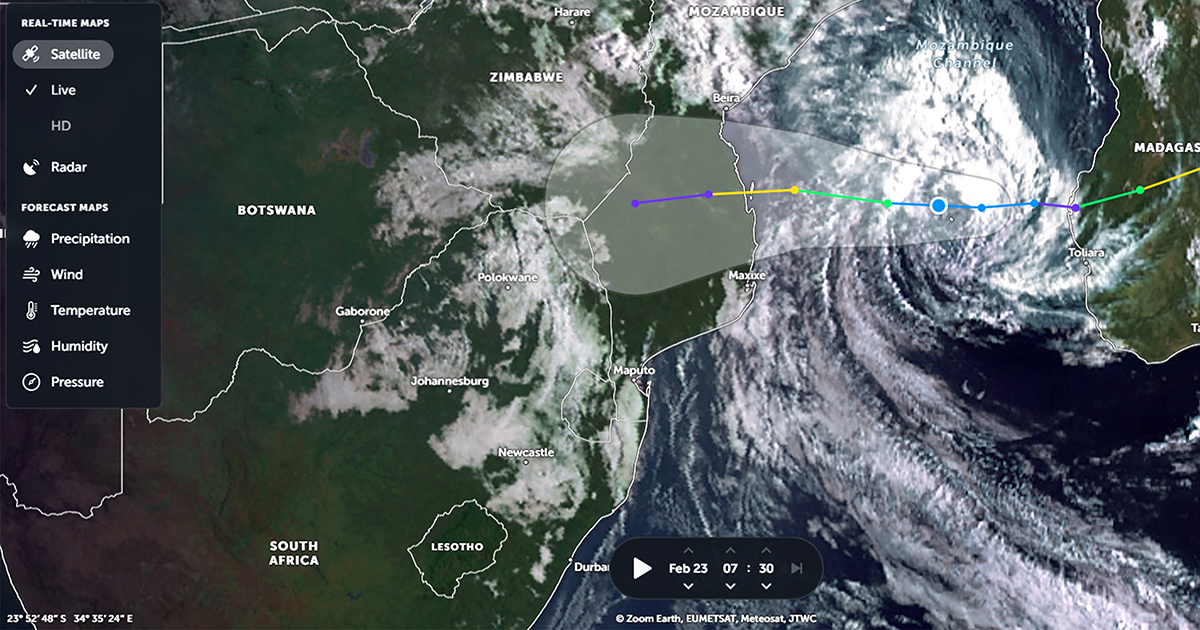
With rain gauges having already overflowed a number of times over the past couple of weeks and the soil logged with water, everyone is holding their breath as to the potential impact Cyclone Freddy will have on the region.
By Wednesday morning, Cyclone Freddy was moving over Madagascar in a westerly direction as a severe tropical storm. Although tropical marine systems such as Freddy weaken significantly once they move overland, as a result of friction when interacting with a land surface, it does pick up speed again if it moves back over water.
Regarding this, the South African Weather Service (SAWS) issued a warning on Wednesday that Cyclone Freddy might go into a potentially dangerous (and uncertain) phase of its life cycle as it moves into the very warm ocean waters of the southern Mozambique Channel.
"The World Meteorological Organization (WMO) designated Regional Specialised Meteorological Centre (RSMC) located at La Reunion forecasts that 'Freddy' will continue in a west-south-westerly direction over the next few days, regaining its strength this evening as it moves into the Mozambique Channel. 'Freddy' may yet again reach near-tropical-cyclone status by Thursday evening while heading to southern Mozambique, making landfall just north of Vilanculos during Friday morning," the SAWS said.
The SAWS warned that "Freddy" will affect the north-eastern parts of South Africa from early Saturday until Monday (25 to 27 February 2023) especially the Lowveld and escarpment areas of Limpopo and Mpumalanga, as the weather system will be semi-stationary along the north-eastern border for a few days. "Very heavy rainfall in the order of 200 to 400 mm is possible, and this may result in widespread, significant flooding. The districts in question are Vhembe and Mopani in Limpopo and, to a slightly lesser extent, Ehlanzeni in Mpumalanga. This, after significant flooding occurred over the Lowveld and escarpment areas (such as the Kruger National Park) the last few weeks, may be catastrophic and cause prolonged and severe impacts," the SAWS said. They assured the public that, in consultation with national and provincial disaster-management structures, they continue to monitor developments on a 24/7 basis and will issue regular updates in this regard, across a variety of media and social-media platforms.
At a local level, the chairman of the Soutpansberg District Agricultural Union, Mr Fanie Havinga, also warned on Wednesday about the possibility of flooding. "If we get only 100 mm of rain over a short period of time, like within a day or a couple of hours, we will have floods as the soil is already soaked. But if we get 100 mm of rain over four or five days, chances of floods will be slim as the region can handle the amount of rain over longer periods," said Havinga.